
-
ProductOne-stop intelligent inspection solution service provider

-
CasesOne-stop intelligent inspection solution service provider

-
BlogOne-stop intelligent inspection solution service provider

-
ServiceOne-stop intelligent inspection solution service provider

-

-
About UsOne-stop intelligent inspection solution service provider


PRODUCTS
- ROCKBOT -
High-Precision Infrared Detection Payload (Night Vision) RK-ZH1072
Category:
Product Details
- Product Description
-
The RK-ZH1072 (night vision type) is a UAV-mounted detection instrument that integrates a high-precision infrared lens with a starlight night vision lens. Its high-sensitivity infrared core enables high-precision temperature measurement with temperature consistency reaching ±0.5℃. The dual-light integrated gimbal can quickly and accurately acquire the surface temperature and high-definition images of the target object without getting close. Integrating AI intelligent recognition algorithms, it automatically identifies and extracts the temperature of the measured equipment, enabling real-time, fast, and accurate equipment detection and timely identification of potential problems. Autofocus is implemented, improving detection efficiency and significantly enhancing imaging quality and temperature measurement accuracy.
Product Features
High Precision: Temperature measurement accuracy better than ±2°C or ±2%
Real-time: Built-in temperature and humidity sensor, real-time calculation of the temperature of the device under test
AI Intelligent Recognition: Integrates AI algorithm model to achieve target recognition, automatic inspection, and automatic extraction of the temperature of the device under test
Night Vision Function - RK-ZH1072 (Night Vision Type): Based on the limitations of infrared thermometry, the starlight-level night vision camera has night vision function, making night patrols safer and suitable for infrared detection of insulator strings in power grid systems
Technical Parameters
High-precision Infrared Camera
Resolution
640X512
Field of View
25°X19°
Focal Length
25mm
Spatial Resolution
0.68mrad
Spectral Range
7.5um~14um
Temperature Measurement Method
Point temperature measurement, area temperature measurement
Visible Light Camera Configuration / Starlight-level Night Vision Camera Configuration
Effective Pixels
2 million
Optical Zoom
36X
Resolution
1920x1080
Field of View
60.5°X2.3°
CMOS
Black and white: 0.0001LuX@ (F1.5, AGC ON)
Focal Length
4.5mm-162mm
Laser Rangefinding
Wavelength
900nm
Measurement Range
1-100m
Other Parameters
Pan-tilt
XPORT
Weight
1.3kg
Power Consumption
11W
Protection Level
IP45
Operating Temperature
-20℃ to 50°C
Computing Power
6T
Supported Models
M350 RTK
Shooting Function
Interlocking Photography
AI-assisted photography for autonomous drone inspection
This system integrates AI edge computing, lightweight and pruning optimization of network AI models, automatic camera control, intelligent sensing exposure, and AR technologies into an edge computing intelligent system. It is a suite of auxiliary tools for autonomous drone inspection tasks. Without changing existing drone equipment, flight path results, inspection APP operation processes, and usage habits, it can be quickly and easily integrated into existing APP software, enabling real-time flight path AR inspection, high-precision AI-assisted image capture, automatic control of gimbal cameras, and intelligent sensing exposure functions. It is compatible with all DJI industry RTK models and 35kV-1000kV voltage level line inspections.
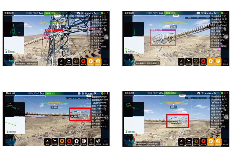
1. AR inspection of autonomous drone inspection routes; built-in AR augmented reality technology, real-time display of the spatial relationship between the route and the towers.
2. AI-assisted photography technology service for real-time target recognition during autonomous drone inspection; supports real-time target detection application scenarios and can perform high-precision identification of typical power targets such as cross-arm hanging points, insulator strings, conductor hanging points, and ground wire hanging points.
3. Automatic zoom and autofocus of the inspection targets during autonomous drone inspection.
4. Real-time scene judgment capability at the front end of autonomous drone inspection and intelligent exposure compensation.
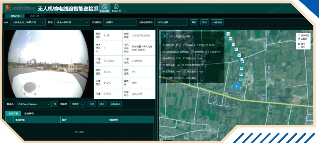
Intelligent Management Platform
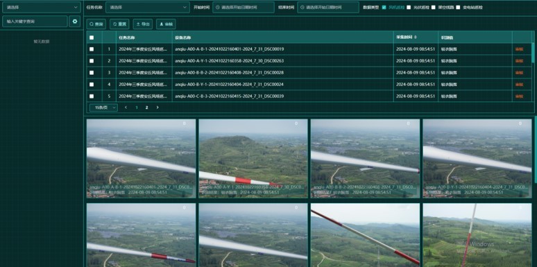
The RK-MP autonomous drone inspection and control platform is a data control, AI image recognition, and big data value mining application system specifically designed for drones and nest inspections. It is mainly used for intelligent operation and maintenance of drones and nests, achieving systematization and intelligence on the platform. Through three-dimensional visualization and full-process control, it realizes the interconnection of data between the field and the backend, forming a complete closed loop for drone inspection work, improving inspection efficiency, improving data analysis efficiency, enhancing data control application levels, and achieving standardized management of results.
Unifying the management of enterprise resources, operation and maintenance equipment, planned tasks, machine inspection results, and line defects, realizing real-time sharing and three-dimensional visualization of resource results, full life cycle management of equipment, and functions such as big data statistical analysis and early warning; the platform, together with the flight control module and nest control module, constitutes a complete operation and maintenance solution, integrating big data, artificial intelligence, the Internet of Things, and cloud computing technologies.
|
Drone Product Series |
||
|
|
|
|
|
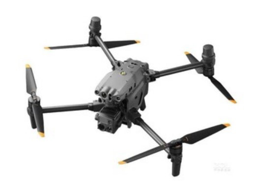
DJI M30T |
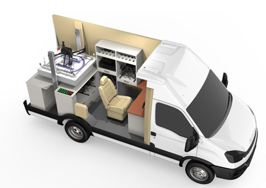
M300 Drone Mobile Nest Vehicle |
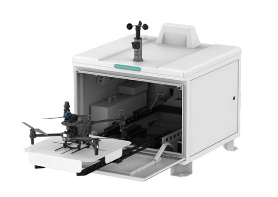
Drone Nest |
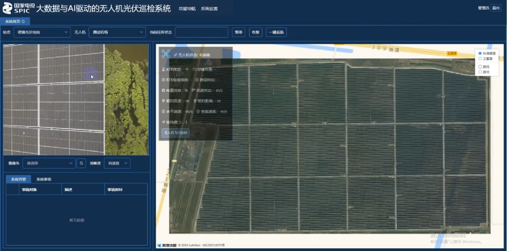
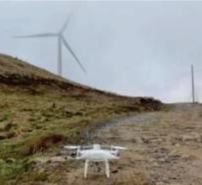
Drone Photovoltaic Inspection System
Drone Wind Turbine Inspection System
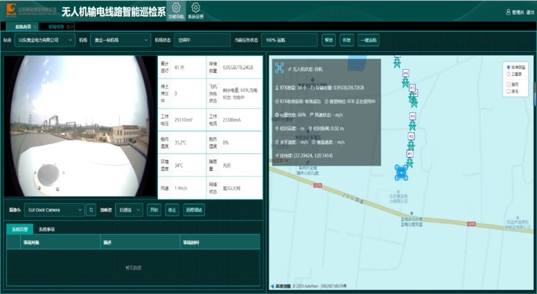
Drone Power Line Inspection System
|
On-site Operation Demonstration |
|||
|
|
|
|
|
|
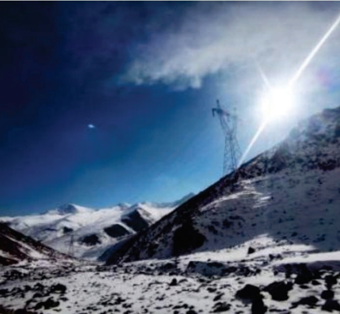
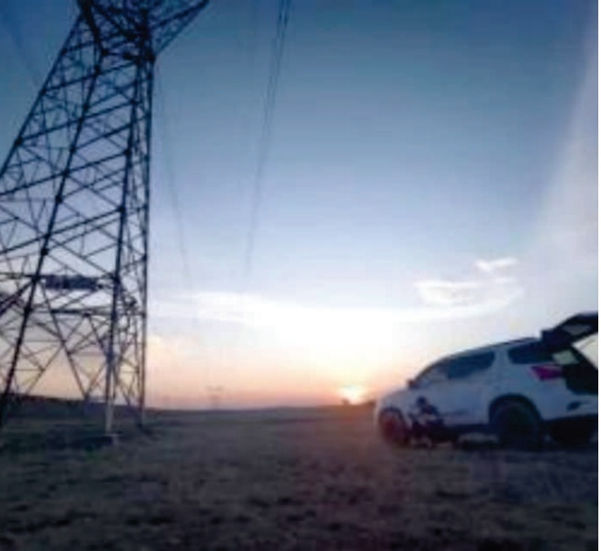
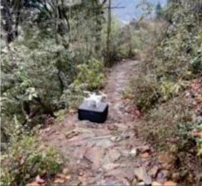
High-altitude Snow Mountain Operation |
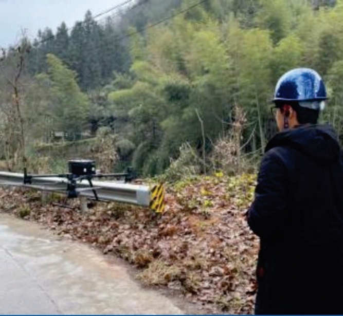
Mountainous Forest Land Operation |
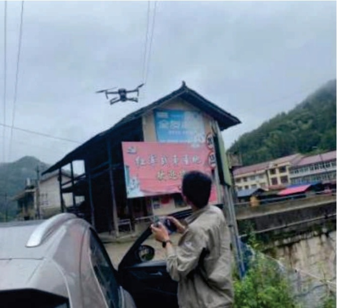
Mountainous Area Operation |
Distribution Network Inspection |
|
|
|
|
|
|
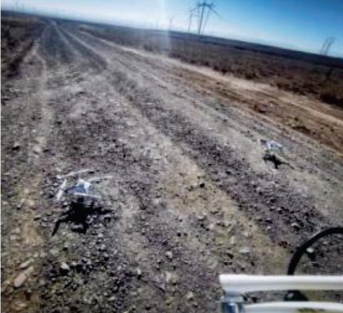
Gobi Desert Operation |
Gobi Desert Operation |
Forest Area Operation |
Desert Operation |

Previous Page
Product Categories
")


Service Hotline:
RockBot Technology was founded in 2002 and is headquartered in Wuning Science and Technology Park, Shanghai. It is a high-tech enterprise mainly providing customers with intelligent inspection products and comprehensive application solutions.
Company Address: No. 1517, Gangyuan Sixth Road, Licheng District, Jinan City, Shandong Province

Scan to follow RockBot